GEOGRAPHY
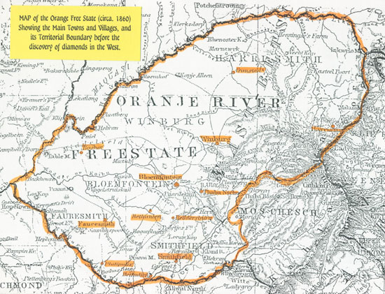
Much of the history of the Orange Free State has evolved from its land-locked position having boundaries with Transvaal to the north and north-west, Natal and Basutoland to the east, and Cape Colony to the south and south-west. Postal arrangements were negotiated with each country, the most important ones being with the Cape as this offered the exit for external mail to the rest of the world. Mail could also travel through Natal to Durban, but there was no great advantage in this and the main postal routes were developed towards Cape Town in the south.
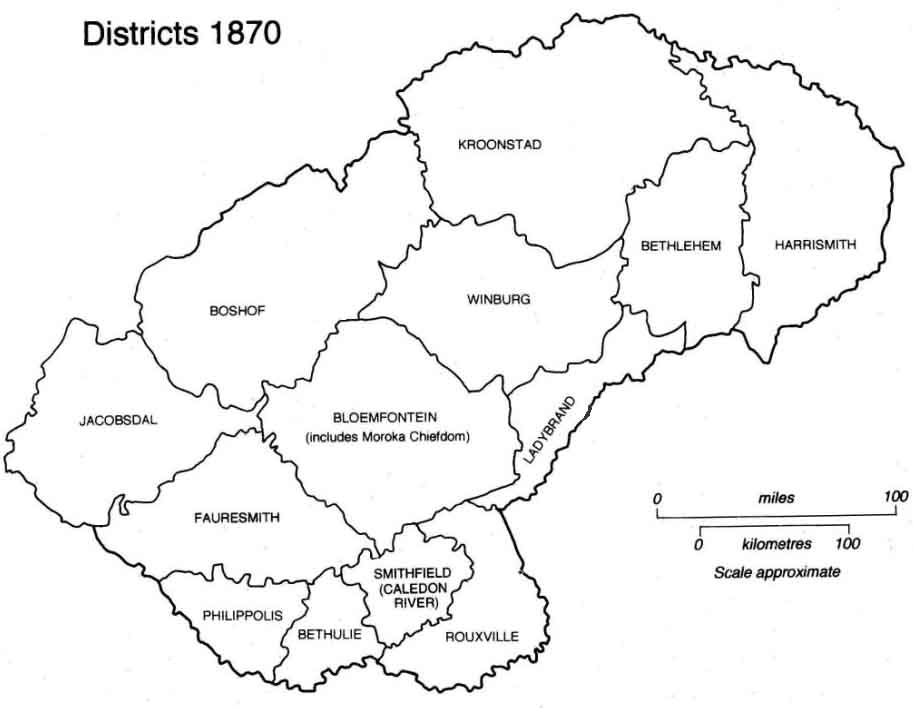
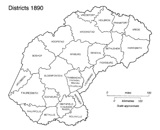
For the purposes of administration the country was divided into Districts.
Home